Spatial Analysis
is a technique that professionals use to extract information from large amount
of geographical data, map them in digital format, and then display them on maps,
as shown in Figure 1. It can analyze business data, health data, environmental
data, the data fire fighters use for finding shortest path in case of
emergencies, and other such data. Spatial Analysis deals with large database
and is a powerful tool that can be helpful in day to day activity such as location-allocation
study, spatial relationship, etc.
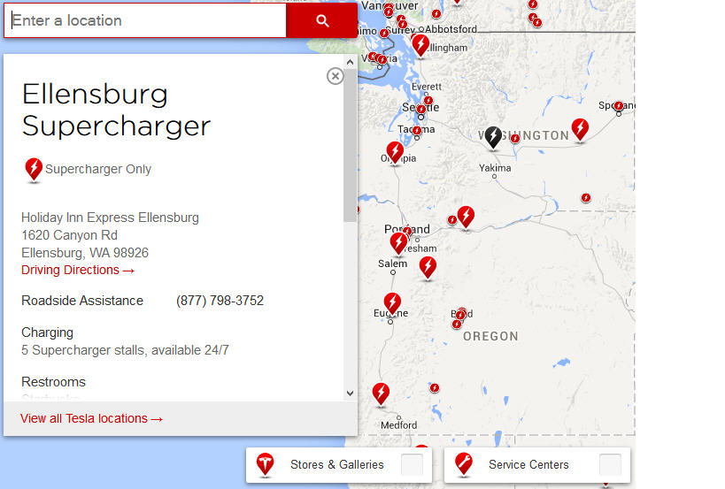
Figure 1 shows Spatial Analysis
Geographical
Information System provides various components to manage spatial data, compute
spatial relationships such as distance, connectivity and directional
relationships between spatial objects, and visualize both the raw data and
spatial analytic results within a cartographic context. A user can view, plot,
understand, and query the spatial database using a GIS platform.


0 comments:
Post a Comment